
You are heretools
tools
Open source LLM DeepSeek AI

DeepSeek AI: A Detailed Overview
a) What is LLM?
A Large Language Model (LLM) is a type of artificial intelligence (AI) designed to process and understand human language. LLMs are trained on vast amounts of text data, which enables them to learn patterns, relationships, and context within language. These models can perform various tasks, such as language translation, text summarization, and conversation generation. LLMs have revolutionized the field of natural language processing (NLP) and have numerous applications in industries like customer service, content creation, and language education.
What is DeepSeek AI?

DeepSeek AI is an open-source Large Language Model (LLM) developed by a team of researchers and engineers mostly with chinese origin. It is designed to be a more transparent and customizable alternative to proprietary LLMs like ChatGPT. DeepSeek AI is trained on a massive dataset of text from various sources, including books, articles, and websites. The model is optimized for conversational tasks, such as answering questions, generating text, and engaging in discussions.
Google Maps Area Calculator Tool | Free Online Measure Land Area Tool
Getzy India Free Online Gmaps Area calculator usage steps

Measure Area of a Plot, Region in Cents, Square Meter,Acre Using Aerial Google Maps
Free Online Transliteration tool to Type in Hindi
हिन्दी में आसानी से संवाद करो.सामाजिक साइटों करो में एसएमएस, चैट, शेयर में उपयोग.
Type a word in English and hit space to get it in Hindi. Click on a word to see more options.
Privacy Policy of Our Mobile apps
Privacy Policy
Introduction:
We value your trust and take your privacy seriously. This policy outlines how we collect, use, disclose, and manage your data.
Information Collection:
We may collect in future updates, various types of information, such as language preferences, search history, and interactions with our services.
Data Usage:
The data we collect helps us improve our services, personalize content, and show relevant ads.
Getzy Swiss Army Knife Tools

Get It done Eazily !. Getzy has a powerful database of many informative data about India, Currently we are powering many useful mobile applications.
Lal Bagh,Bangalore Area Measurement with Getzy Area Calculator
Our Free Online Area Calculator Tool is an excellent tool for quickly measuring area of any plot/land and is also good for making fast area estimates of abundant land. In this post we are using it to measure area of Lalbagh garden in Bangalore.
Using the marker tools in the map, the boundaries of garden are marked as shown in the first image below. Once the boundaries are marked the tool immediately calculates the area and converts to square feet, square meter, cents, hectres etc. as visible in the second image.
Wikipedia quotes the area of Lalbagh as 240 Acre, you can see that the area measured with our free tool in 2 minutes is 239.87 Acreage ie. more or less equal to the actual area of lalbagh. (Please refer the 3rd image below)
Bangalore University Info, Facts, Gmaps | Google Satellite Maps
Facts about Bangalore University
* Campus
* Mark Johnson Addresses the Spectators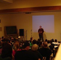
* Images courtesy Flickr.com and its vibrant members
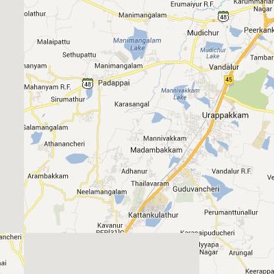
Google Satellite Maps of Madambakkam | செயற்கைக்கோள் வரைபடங்கள் Madambakkam
Google satellite maps of Madambakkam(இந்திய Google செயற்கைக்கோள் வரைபடங்கள் Madambakkam)
 .
.
Follow read more to view Madambakkam Google satellite maps.
Google Satellite Maps of Perungudi | செயற்கைக்கோள் வரைபடங்கள் Perungudi
Google satellite maps of Perungudi(இந்திய Google செயற்கைக்கோள் வரைபடங்கள் Perungudi)
 .
.
Follow read more to view Perungudi Google satellite maps.
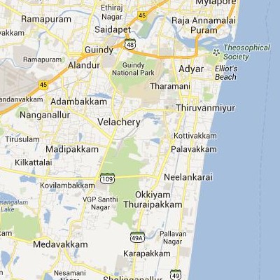
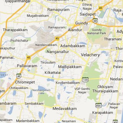
Google Satellite Maps of Madipakkam | செயற்கைக்கோள் வரைபடங்கள் Madipakkam
Google satellite maps of Madipakkam(இந்திய Google செயற்கைக்கோள் வரைபடங்கள் Madipakkam)
 .
.
Follow read more to view Madipakkam Google satellite maps.
Google Satellite Maps of Porur | செயற்கைக்கோள் வரைபடங்கள் Porur
Google satellite maps of Porur(இந்திய Google செயற்கைக்கோள் வரைபடங்கள் Porur)
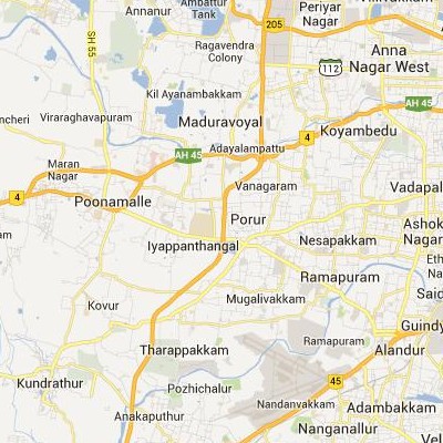 .
.
Follow read more to view Porur Google satellite maps.
Google Satellite Maps of Alandur | செயற்கைக்கோள் வரைபடங்கள் Alandur
Google satellite maps of Alandur(இந்திய Google செயற்கைக்கோள் வரைபடங்கள் Alandur)
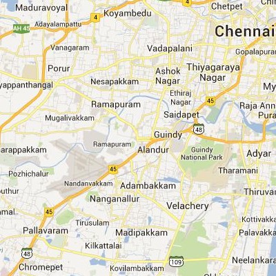 .
.
Follow read more to view Alandur Google satellite maps.
Google Satellite Maps of Alangayam | செயற்கைக்கோள் வரைபடங்கள் Alangayam
Google satellite maps of Alangayam(இந்திய Google செயற்கைக்கோள் வரைபடங்கள் Alangayam)
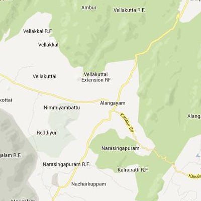 .
.
Follow read more to view Alangayam Google satellite maps.
Google Satellite Maps of Alangulam | செயற்கைக்கோள் வரைபடங்கள் Alangulam
Google satellite maps of Alangulam(இந்திய Google செயற்கைக்கோள் வரைபடங்கள் Alangulam)
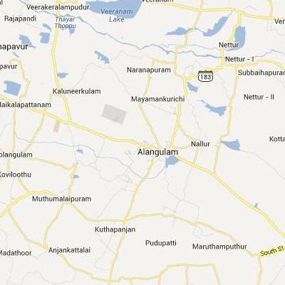 .
.
Follow read more to view Alangulam Google satellite maps.
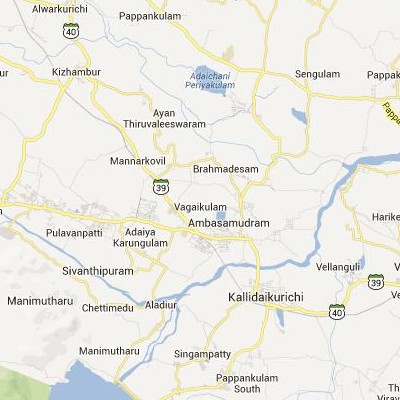
Google Satellite Maps of Ambasamudram | செயற்கைக்கோள் வரைபடங்கள் Ambasamudram
Google satellite maps of Ambasamudram(இந்திய Google செயற்கைக்கோள் வரைபடங்கள் Ambasamudram)
 .
.
Follow read more to view Ambasamudram Google satellite maps.
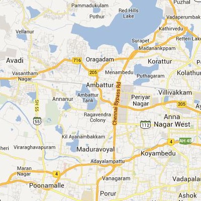
Google Satellite Maps of Ambattur | செயற்கைக்கோள் வரைபடங்கள் Ambattur
Google satellite maps of Ambattur(இந்திய Google செயற்கைக்கோள் வரைபடங்கள் Ambattur)
 .
.
Follow read more to view Ambattur Google satellite maps.
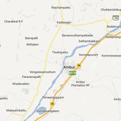
Google Satellite Maps of Ambur | செயற்கைக்கோள் வரைபடங்கள் Ambur
Google satellite maps of Ambur(இந்திய Google செயற்கைக்கோள் வரைபடங்கள் Ambur)
 .
.
Follow read more to view Ambur Google satellite maps.
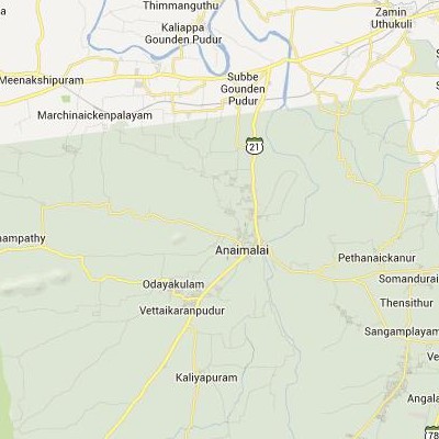
Google Satellite Maps of Anaimalai | செயற்கைக்கோள் வரைபடங்கள் Anaimalai
Google satellite maps of Anaimalai(இந்திய Google செயற்கைக்கோள் வரைபடங்கள் Anaimalai)
 .
.
Follow read more to view Anaimalai Google satellite maps.
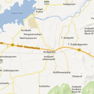
Google Satellite Maps of Andippatti | செயற்கைக்கோள் வரைபடங்கள் Andippatti
Google satellite maps of Andippatti(இந்திய Google செயற்கைக்கோள் வரைபடங்கள் Andippatti)
 .
.
Follow read more to view Andippatti Google satellite maps.
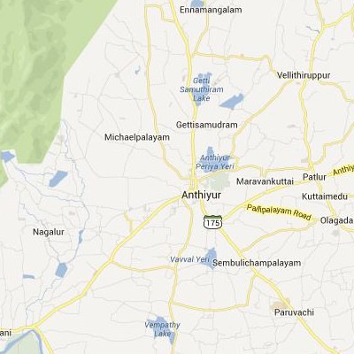
Google Satellite Maps of Anthiyur | செயற்கைக்கோள் வரைபடங்கள் Anthiyur
Google satellite maps of Anthiyur(இந்திய Google செயற்கைக்கோள் வரைபடங்கள் Anthiyur)
 .
.
Follow read more to view Anthiyur Google satellite maps.
